Unsettled weather to continue after Storm Freya batters UK
Britain was battered by gales, rain and snow as the sixth named storm of the 2018/2019 season struck.
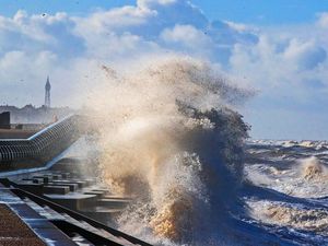
Heavy rain and winds are expected to follow in the wake of Storm Freya later this week, forecasters have warned.
Britain was battered by gales, rain and snow as the sixth named storm of the 2018/2019 season struck on Sunday.
Wind speeds reached nearly 80mph, trees were felled and roads closed as the weather caused disruption.
The Met Office said on Monday morning that the storm had passed into the North Sea overnight, easing winds in the east, but warned of continuing unsettled conditions.
Western and southern parts of the UK bore the brunt of Storm Freya’s strong winds, with a top speed of 76mph recorded at Mumbles Head in West Glamorgan, Wales, at 6pm on Sunday.

The highest wind speed recorded in England was 70mph at Emley Moor in Yorkshire, the Met Office said.
Dramatic videos of large waves battering Porthcawl in Bridgend, Wales, on Sunday evening were shared online.
Mike, from Cardiff, said: “The storm was very powerful on the coast, a couple of the party I was with literally had to grab on to posts in fear of being blown into the sea.
“The sea itself was just a thing of fury, looked like a witches’ cauldron!”
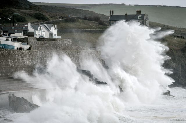
South Wales Police were warning of “atrocious conditions” on the Gower on Sunday, while the Severn Bridge was closed westbound due to the high winds.
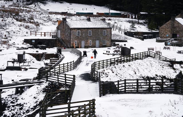
Further north, one motorist said there was “chaos” on the A595, tweeting: “Shocked at how bad it is! Major problems in Cumbria due to the snow! Very severe.”
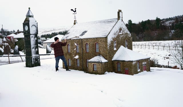
Yellow warnings for wind and snow were lifted in the early hours of Monday morning.
“It was a disruptive system, it certainly warranted a warning and naming,” a Met Office spokesman said.
“It did bring impacts to a large swathe of Britain. It heralded the start of a relatively unsettled week.”
The Met Office warned the Atlantic jet stream would be bringing a succession of low pressure systems to the UK in the coming days.
The spokesman said: “The jet stream is bringing us a more unsettled pattern. The pattern is on repeat for the rest of the next few days and indeed into the weekend.”
While conditions are not expected to surpass those of Storm Freya, there will be a risk of rain, wind and even sleet and snow in areas of high ground in the north.
Monday morning will be mainly dry, but heavy, showery rain with a risk of thunder, will arrive from the south west and spread east.
Overnight, the showery rain will move eastwards, with some clear spells, but further heavy rain will follow in from the south west.
Hail and hill snow is possible in the north, with windy conditions in the west.
The rain will move into Northern Ireland, northern England and Scotland on Tuesday, with other areas seeing sunnier spells giving way to cloudier conditions and rain in the south west later on.
The outlook for Wednesday and Thursday includes occasional heavy rain and strong winds at times.
Friday is expected to be drier and brighter, with sunny spells.


