Return of 'Beast from the East' predicted to bring cold, unsettled weather
The temperature is set to drop across the region as a sudden stratospheric warming event is predicted to arrive.

The Met Office has warned of temperatures dropping below average as it predicted the return of a weather pattern similar to the 'Beast from the East'.
The 'Beast from the East' is a phrase used to describe cold and wintry conditions in the UK as a result of easterly winds from the near continent, according to the Met Office.
When pressure is high over Scandinavia, the UK tends to experience a polar continental air mass and when this happens in winter, cold air is drawn in from the Eurasian landmass, bringing cold and wintry conditions.
In the long-term forecast between March 5 and March 14, the Met Office predicted drier conditions, wintry showers and an increased chance of weather turning more unsettled later in the week.

The forecast read: "On Sunday, a mixture of sunny spells with scattered showers likely in the north and east, turning particularly wintry over northern hills and in the far northeast at times, and perhaps becoming more frequent in the north later.
"Drier conditions with sunny spells are expected in the rest of the country, with isolated showers possible at times.
"Light winds are expected for most, but moderate or fresh in the east.
"For the rest of the period, settled conditions are most likely across the country, with some wintry showers and snow the north and east at times.
"There is an increasing chance of it turning more unsettled later with spells of rain or snow becoming more likely.
"Temperatures overall will be below average, but gradually trend up through the period."
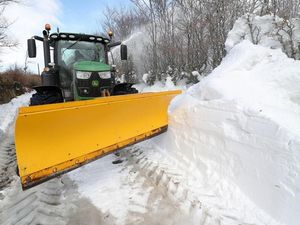
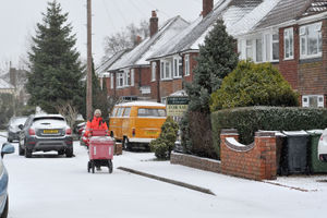
Previous 'Beasts from the East' have brought heavy snow and wintry conditions to the region, bringing disruption to trains and other travel in 2018.
Aidan McGivern from the Met Office said: “During the weekend, low pressure over the Mid-North Atlantic will start to feed energy northwards and allow high pressure over the UK to migrate towards Greenland.
“At the same time, there’s a highly amplified, very perturbed jet stream.
"It loops around this low (pressure) and then pushes all the way back to the north of the high pressure that’s developing over Greenland, allowing this northerly feed that’s allowing the colder weather to push into the north of the UK by the end of Saturday.
“As that happens the low pressure from the south and the west is likely to push in and mix with the cold at the north and east, leading to some disruptive snow in places by the start of next week.”


