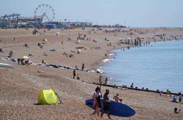
Sunday could be hottest day of 2021 so far, forecasters say
Later in the week, thunderstorms look set to hit parts of England and Wales.

England fans are being urged to protect themselves in the sun as the nation’s football team kicks off its Euro 2020 campaign, as Sunday could be the hottest day of the year so far.
Temperatures could peak at nearly 29C (84.2F) as England play their first match against Croatia at Wembley.
Met Office meteorologist Becky Mitchell said the “heat is widespread” on Sunday, with temperatures in the mid-20s across most areas.
She said that “full-on sunshine” with very high UV levels is expected for London, so it “will feel hot with light winds”.
She added: “If anyone is out watching the football it will definitely be worth protecting yourself from the sun.”
A temperature above 28.3C (82.94F) will make it the hottest day of the year so far as well as the hottest June 13 on record.
The Met Office said: “Interestingly June 13 is the only day during meteorological summer that we’ve never recorded 30C (86F). We won’t see 30C today, but we may see the hottest day of the year so far for some.”
The hottest temperature recorded so far this year was 28.3C in Northolt, north-west London, on June 2.
The Met Office said the hottest temperature recorded on Saturday was 24.8C (76.64F) at Kew Gardens in London, with 24.6C (76.28F) at Heathrow and St James’s Park as well.
Temperatures could be a little higher in the south on Monday reaching 29C or possibly 30C.

There will be a north-south split on Monday as England and Wales can expect “very strong sunshine”, but further north it will feel fresher with stronger winds, she said.
The warmer weather is set to hold for the next few days before there is a “thundery breakdown” and it turns a bit fresher.
Some places could see thunderstorms and face potential flooding and travel disruption from Wednesday.
A thunderstorm warning has been issued covering much of England and Wales between 6pm on Wednesday and 6am on Friday.
The Met Office said there is “significant uncertainty” about the location and timing of the thunderstorms but they are expected to move northeast across parts of England and Wales from late Wednesday through to Friday morning.
A spokesman said: “Whilst not all locations will be affected, some intense thunderstorms may occur during this period with torrential rain, hail, frequent lightning and strong gusty winds possible.”
Rainfall totals of around 30mm could fall in an hour. Some locations could potentially get around 50 mm in two to three hours but this would be fairly isolated occurrences.


